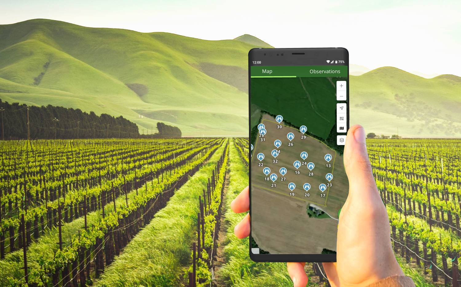
The Use of GPS in Scouting
In the world of modern agriculture, precision and efficiency are paramount. Farmers and agronomists continually seek ways to optimize their crop management practices to increase yields while conserving resources. One crucial tool in achieving these goals is Global Positioning System (GPS) technology. In this blog post, we’ll explore the invaluable role of GPS in scouting, highlighting its impact on decision-making, resource management, and overall agricultural productivity.
What is Field Scouting?
Field scouting is the practice of closely examining agricultural fields to assess crop health, identify potential issues, and make informed decisions about interventions. Traditionally, this process involved walking through fields, visually inspecting plants, and taking manual notes. While these methods can still be effective, GPS technology has revolutionized the way field scouting is conducted.
The Role of GPS in Field Scouting
1. Precise Georeferencing
One of the most significant advantages of using GPS technology in field scouting is its ability to provide precise georeferencing. GPS-enabled devices, such as smartphones, tablets, and dedicated GPS units, can accurately determine and record the exact location of observations and findings in the field. This information is crucial for creating digital field maps and tracking changes in crop conditions over time.
2. Efficient Data Collection
GPS technology streamlines data collection during field scouting. With GPS-enabled devices, scouts can quickly and accurately record information about pest pressures, disease outbreaks, nutrient deficiencies, and other critical factors affecting crop health. This real-time data collection eliminates the need for manual note-taking and reduces the likelihood of errors.
3. Customized Field Maps
GPS data can be used to create customized field maps that display the distribution of various crop conditions and issues. These maps provide a visual representation of the field’s health, allowing farmers and agronomists to identify problem areas and make targeted management decisions. For example, a field map may highlight areas with high pest pressure, prompting the application of pesticides only where needed.
4. Precision Agriculture
GPS technology plays a central role in the adoption of precision agriculture practices. By integrating GPS data with other technologies like remote sensing and variable rate technology (VRT), farmers can apply inputs like fertilizers, herbicides, and irrigation water precisely where they are needed. This not only maximizes resource efficiency but also minimizes environmental impacts.
5. Collaboration and Communication
GPS technology facilitates better communication and collaboration among the members of an agricultural team. Scouts in the field can share real-time data and observations with agronomists and farmers who may be off-site, ensuring that everyone has access to the latest information to make informed decisions.
The use of GPS technology in field scouting is revolutionizing the way Insigh Ag helps farmers and agronomists manage their crops. With its precise georeferencing, efficient data collection, customized field mapping, and support for precision agriculture, GPS has become an invaluable tool for our business, increasing agricultural productivity while reducing resource waste and environmental impact. As technology continues to advance, the integration of GPS into agricultural practices will only become more critical in the pursuit of sustainable and efficient farming.

